Month: April 2014
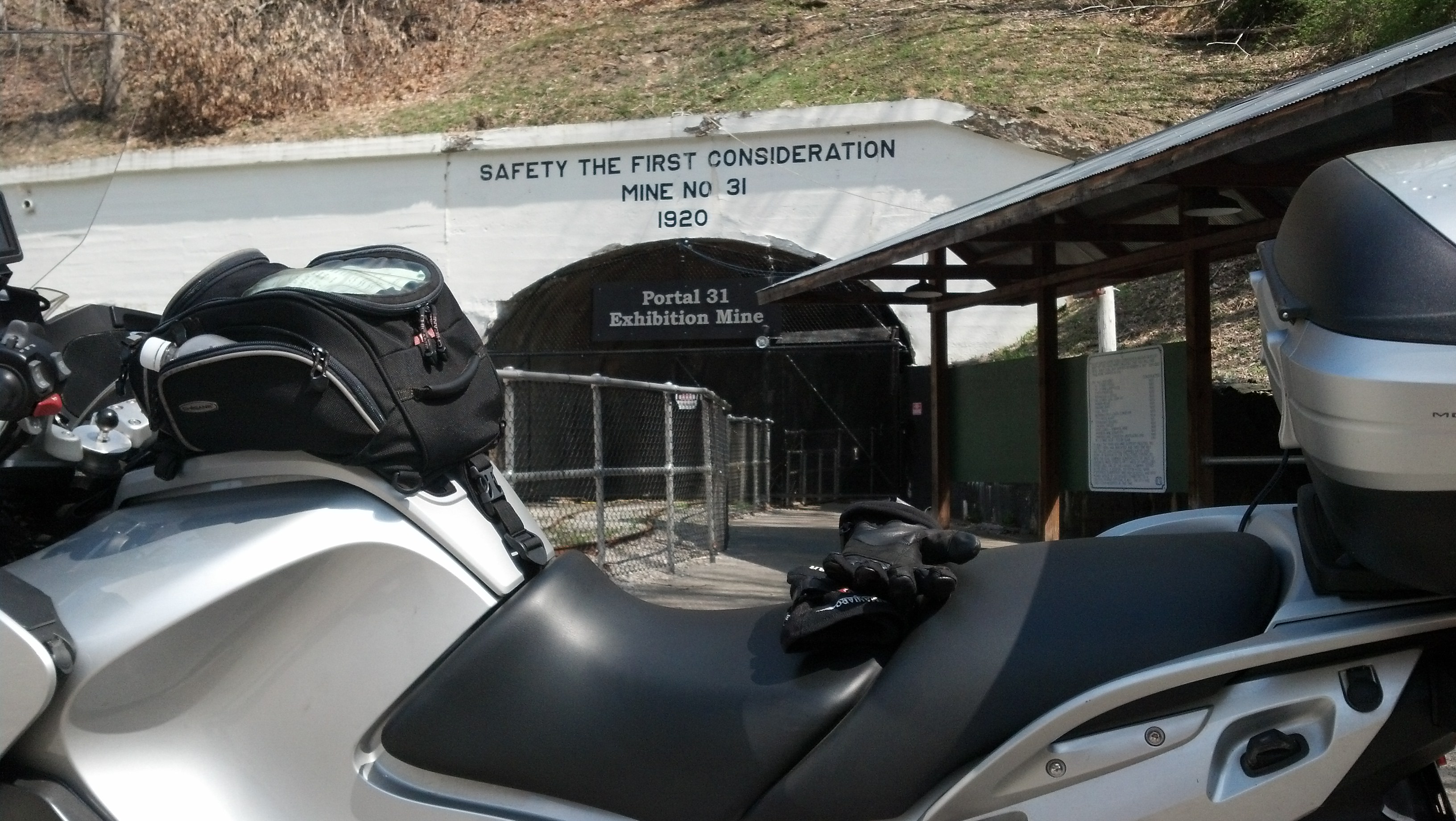
Took a ride to see Portal 31 in Lynch Kentucky
It was a beautiful day, Nat was travelin, we had a neighbor to watch the hound. Hm. Mow the lawn or ride?
Well along the ride (yeah, I chose to ride) I stopped over at this improvised overlook. My cell phone camera just can’t do this justice so I took a lot of shots.
The road I came up;
and the road I’m going up;
So off I went. Shortly after I left this spot I crossed into Kentucky. A sign at the border informed me that I was on Black Mountain at the highest point in Kentucky. The road I was on was 160 and not a lot of straight or level on it. Just my style. Not too much farther in was my goal.
Lots of history to this place. It was begun around 1912 on a government request to supply good quality coal for ammunition for World War I. They built an entire town around a coal mine and with a guaranteed market for the coal no expense was spared. Everything about it was state of the art.
Nowadays (but not today) they offer mine tours where you get to ride these cars. I shot this through the fence across the entrance.
This cute little machine was for grinding coal out of the mine.
I rode a little farther out looking for a good sized road. I found another town but didn’t note the name. They had a Hardees so I grabbed a nice lunch. While I was eating I could see a LOT of smoke rising off a hillside. After lunch I rode a little closer but not close enough to see what was going on.
My next notable stopover was the Cumberland Gap park and overlook.
With a vantage point like this it should be no surprise that this was a stronghold during the civil war. For both sides. Alternately. I my riding boots and temps in mid 70’s I wasn’t up to hiking around enough to see all those sights. I did get up to a cannon placement but took the wrong path to get closer to the cannon that was there. The real big gun was finally left in a cave down below. I don’t think the one there was it.
Down below at the main overlook you can see Virginia, Kentucky, and Tennessee. In Kentucky the town of Middlesburg is built in an ancient meteor crater. It’s possible to make out the shape of the crater if you concentrate.
Lake level check. Morning after a night of heavy rains.
As TVA is bringing up our lake levels we had widespread heavy rains last night. It will take days for the rain to drain down into the lake but that should jump up the levels. These were taken the morning of 4/3/2014. I’ll try to add some more pics in about a week or so.
I took 4 pictures and let Google+ stitch them into a panoramic view of our little slice of the lake.


