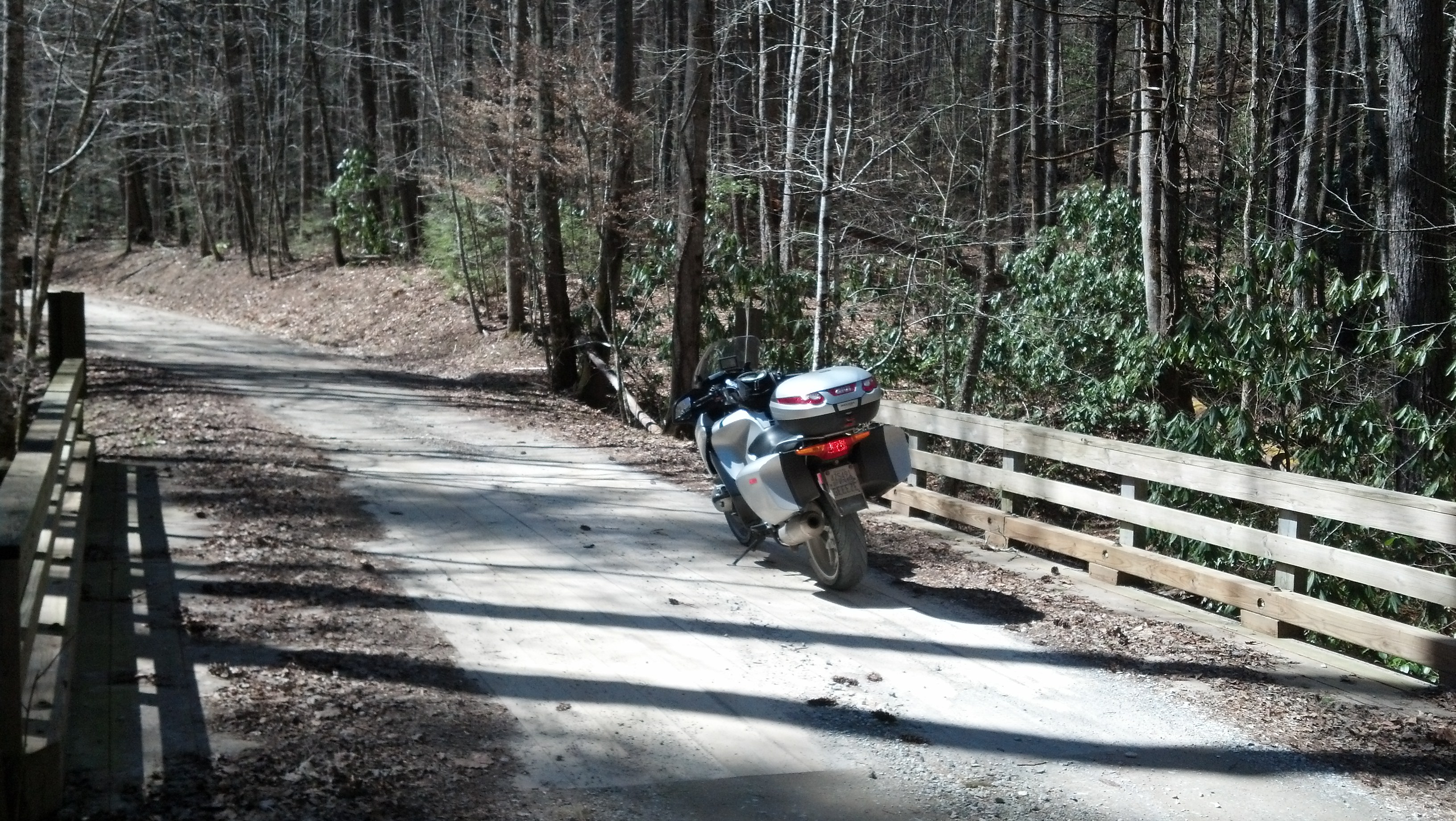
Chasing a tag in the NC tag game.

When a friend rode over 1000 miles to bring the tag back to near TN I felt like I just had to give it a kick myself.

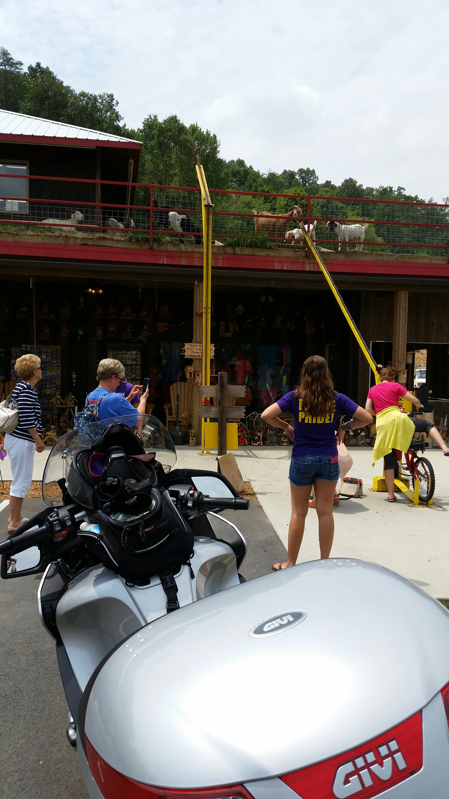
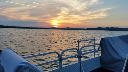
I left home at 12:30 and tanked up near my house with non-ethanol high test gas. I didn’t get far before I ran into a major downpour. Water was rushing down the street 6″ deep. I was in cooling mesh gear when it cut loose. I had a brief thought about putting on some rain gear. Then I thought I didn’t bring any. Oh well. About that time the sun came out and helped dry me off. I got rained on off and on all day. I spent 9 hours in the saddle and covered 300 miles.


image

NC tag snag

image

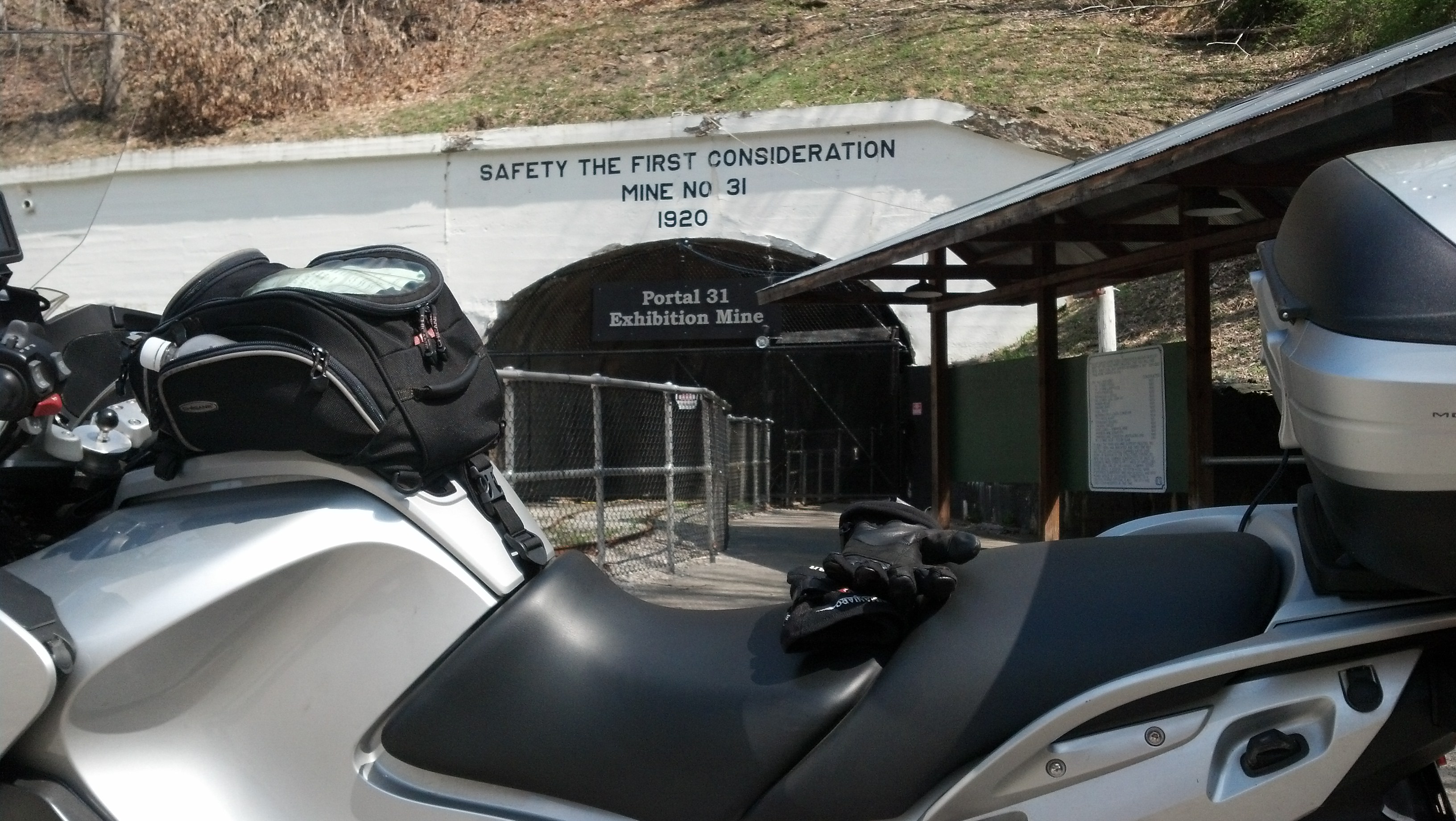
Took a ride to see Portal 31 in Lynch Kentucky

It was a beautiful day, Nat was travelin, we had a neighbor to watch the hound. Hm. Mow the lawn or ride?

Well along the ride (yeah, I chose to ride) I stopped over at this improvised overlook. My cell phone camera just can’t do this justice so I took a lot of shots.

View along 160 1


View along 160 2

View along 160 10

The road I came up;

View along 160 8

and the road I’m going up;

View along 160 9

So off I went. Shortly after I left this spot I crossed into Kentucky. A sign at the border informed me that I was on Black Mountain at the highest point in Kentucky. The road I was on was 160 and not a lot of straight or level on it. Just my style. Not too much farther in was my goal.

Portal 31 Lynch Kentucky 1

Lots of history to this place. It was begun around 1912 on a government request to supply good quality coal for ammunition for World War I. They built an entire town around a coal mine and with a guaranteed market for the coal no expense was spared. Everything about it was state of the art.

Portal 31 Lynch Kentucky 2

Portal 31 Lynch Kentucky 5

Nowadays (but not today) they offer mine tours where you get to ride these cars. I shot this through the fence across the entrance.

Portal 31 Lynch Kentucky 6

This cute little machine was for grinding coal out of the mine.

Portal 31 Lynch Kentucky 11

Portal 31 Lynch Kentucky 12

I rode a little farther out looking for a good sized road. I found another town but didn’t note the name. They had a Hardees so I grabbed a nice lunch. While I was eating I could see a LOT of smoke rising off a hillside. After lunch I rode a little closer but not close enough to see what was going on.

My next notable stopover was the Cumberland Gap park and overlook.

Cumberland Gap Overlook 4

Cumberland Gap Overlook 6

Cumberland Gap Overlook 11

Cumberland Gap Overlook 12

Cumberland Gap Overlook 13

Cumberland Gap Overlook 19

With a vantage point like this it should be no surprise that this was a stronghold during the civil war. For both sides. Alternately. I my riding boots and temps in mid 70’s I wasn’t up to hiking around enough to see all those sights. I did get up to a cannon placement but took the wrong path to get closer to the cannon that was there. The real big gun was finally left in a cave down below. I don’t think the one there was it.

Cumberland Gap Overlook 26

Down below at the main overlook you can see Virginia, Kentucky, and Tennessee. In Kentucky the town of Middlesburg is built in an ancient meteor crater. It’s possible to make out the shape of the crater if you concentrate.
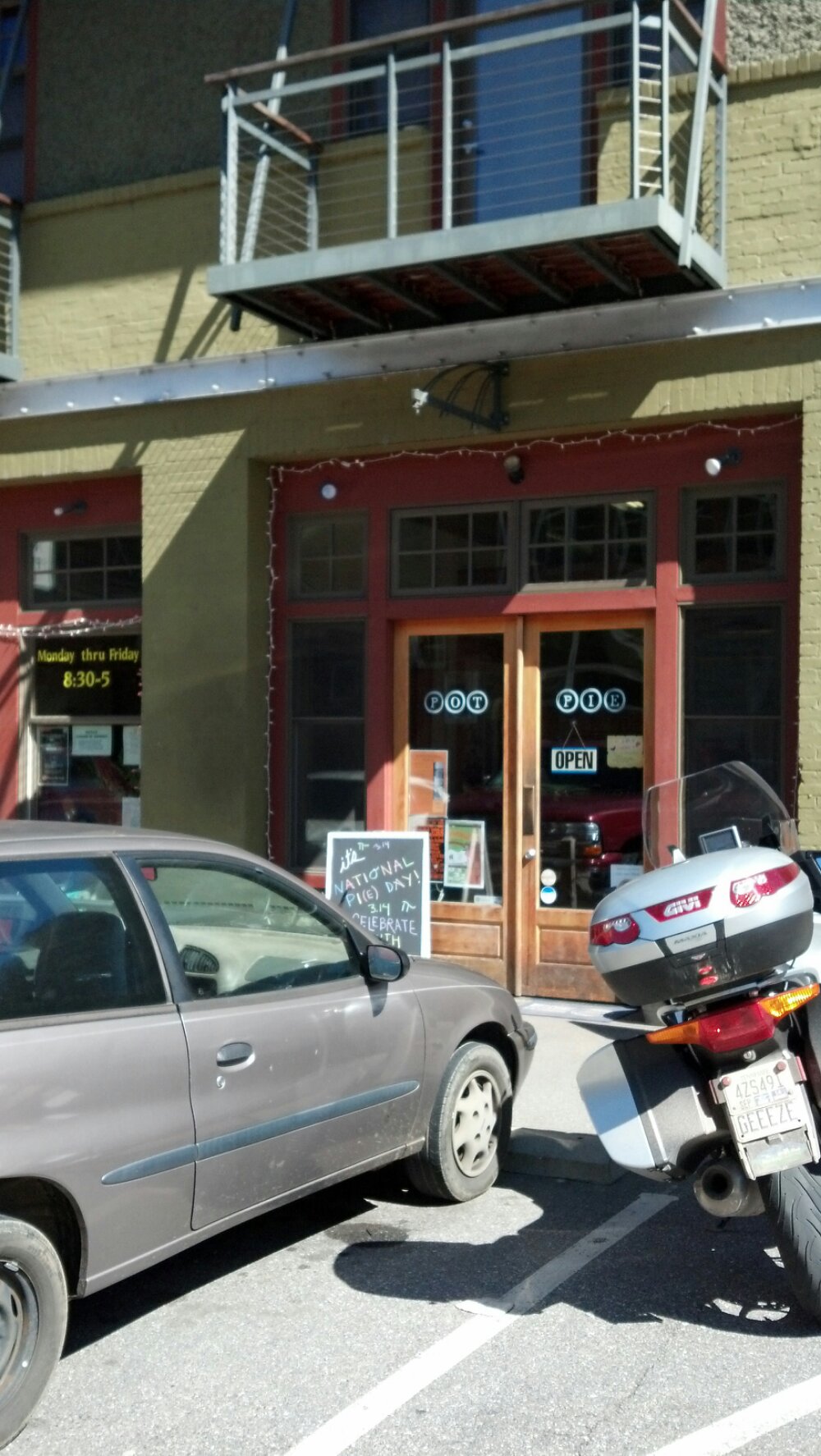
Pot pie in NC.

The North Carolina tag game on ADVRider.com was placed at Pot Pie in Marshall, NC. I rode out expecting a pot pie lunch, some pictures of the place, and a good ride. Unfortunately all they sell is frozen pies that you take home. >sigh< That sent me down the road for lunch. At any rate this is the picture I snapped of the place. Not much free parking but nobody inside. image

Unusually warm day in East TN calls for a ride in the GSMNP

The temps were headed for the 70s on this early March day and I decided I needed to take a ride. Where to go? I considered chasing down my Appalachian Tag which is currently at a mine in West Virginia but decided I didn’t want that much of a ride this early in riding season for me.

It’s been quite a while since I rode through the GSMNP (Great Smoky Mountain National Park) or drove through for that matter. I decided to risk going through on my street bike for the first time. I used to run through there regularly on my old GSA but that’s built for the rough conditions. It’s a beautiful route through but all gravel and dirt. I knew with the trees bare some of the views would be better than usual.

Continue reading “Unusually warm day in East TN calls for a ride in the GSMNP”

We take a pleasant tour on the motorcycle in November

It was supposed to be colder. We dressed for colder. We were surprised when temps climbed to 70 on November 10, 2013. Unfortunately that wasn’t entirely a good thing since we were dressed for cold.

When the ROK group rides there are some rules we follow to make the ride safe and fun for riders of various speeds. The most important rule is ride your own pace. Some folks aren’t really good enough to go fast, some folks just want to go slow. We always have folks ready to push for speed and the group filters with faster riders at the front and more laid back riders in the rear. To keep our group together each rider is responsible for the rider behind him or her. If the group makes a turn each rider looks for the bike behind before continuing. If the rider behind isn’t in view then you wait. Someone in our group couldn’t grasp this simple concept and the group got separated. Nat and I were riding at the end of the line because I wanted a laid back tour this day.

Unfortunately this same rider managed to get our group divided into three parts. It figures; this was the first time I’d gone on a ride and didn’t download the route. Never had a problem before. When one rider went astray because of the bad apple the last of our group stopped to discuss and then I was sent along the route while someone riding solo with the route went after the astray rider and sweep sat waiting. Since bad apple was now the bike I was depending on to find the next turn we got separated too. Nat and I stopped to look at what information I had that I could use and began doubling back to find the proper route. I also changed some of my hot clothes out as I was now getting overheated.
Presently I got a text message from the ride leader suggesting the gas station to get back together and I set my GPS to go there.

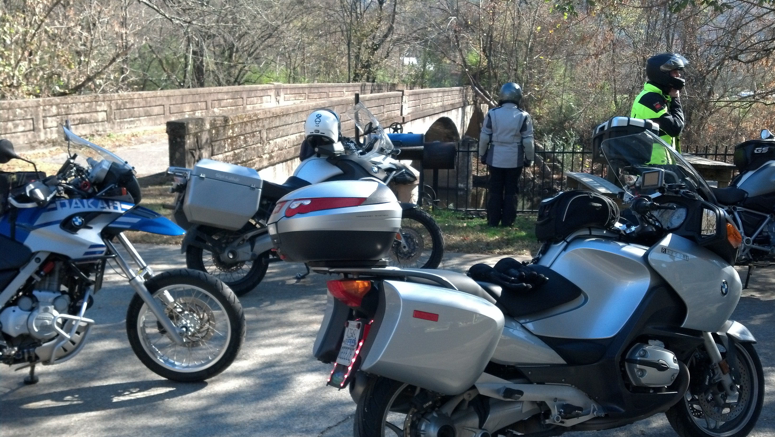
BMW Motorcycles and people dressed for the cold
Pausing at the BP gas station in Walland to literally regroup

The spot chosen to regroup was an excellent one and I lightened my clothes load some more.

motorcycles with people adjusting gear
Almost a view down the unused bridge.
More of our group.
More of our group.

Once everybody was gathered back up, bladders emptied, clothes adjusted, fluids consumed, and mounted back up ready to ride we continued. Some of the roads Francois had chosen for this ride were spectacular. Some were just great. None were bad. We even managed to get in and out of Pigeon Forge for lunch. Sadly I wasn’t thinking pictures so above is all I got.

After lunch temps continued to climb and I was getting uncomfortable again with nothing much to remove safely. About that time Nat started complaining of not feeling well. After a while we decided to just head for home. We did let the group know we were going our own way. I know the rest of the ride was also good. Next time.